
西兴拉 topographic map
Interactive map
Click on the map to display elevation.
About this map
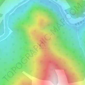
Name: 西兴拉 topographic map, elevation, terrain.
Location: 西兴拉, 派镇, 米林市, 林芝市, 西藏自治区, 中国 (29.73564 95.09643 29.73574 95.09653)
Average elevation: 2,900 m
Minimum elevation: 2,384 m
Maximum elevation: 3,840 m
Other topographic maps
Click on a map to view its topography, its elevation and its terrain.