
Thank you for supporting this site ❤️
Make a donation
Make a donation
Bukit Tinggi topographic map
Click on the map to display elevation.
Thank you for supporting this site ❤️
Make a donation
Make a donation
About this map
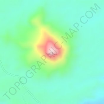
Name: Bukit Tinggi topographic map, elevation, terrain.
Location: Bukit Tinggi, Bungo, Jambi, Indonesia (-1.54478 101.67322 -1.54468 101.67332)
Average elevation: 283 m
Minimum elevation: 191 m
Maximum elevation: 525 m
Thank you for supporting this site ❤️
Make a donation
Make a donation