
Make a donation
Essene topographic map
Click on the map to display elevation.
Make a donation
Essene
Uit archeologische bronnen blijkt dat Essene al in het Neolithicum bewoning kende, waarvan sporen in de vorm van silex artefacten werden teruggevonden nabij de bronnen van de Kerlemeersbeek, vlakbij het huidige dorpscentrum. In de late 19de eeuw werden op verschillende plaatsen losse fragmenten gevonden van Romeinse gebouwen, waarschijnlijk een, vermoedelijk twee villa's, en een graanmoleninfrastructuur. Aangenomen wordt dat Essene in de Romeinse periode was verbonden met de vicus Asse, als een voorpost op een strategische hoogte boven de Dender. Andere Romeinse relicten die er werden aangetroffen zijn fibulae, een bronzen ruiterspoor, scherven van vaatwerk, munten (cf collectie de Clippele).
Make a donation
About this map
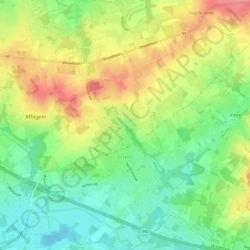
Name: Essene topographic map, elevation, terrain.
Average elevation: 40 m
Minimum elevation: 4 m
Maximum elevation: 82 m
Make a donation