
桃园 topographic map
Interactive map
Click on the map to display elevation.
About this map
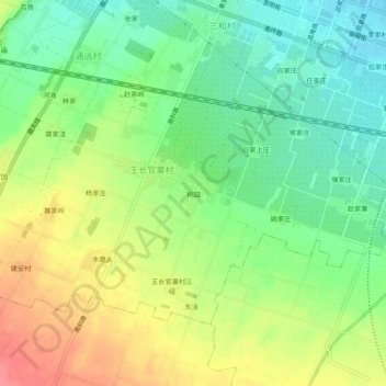
Name: 桃园 topographic map, elevation, terrain.
Location: 桃园, 首善街道, 眉县, 宝鸡市, 陕西省, 722300, 中国 (34.22921 107.71534 34.26921 107.75534)
Average elevation: 542 m
Minimum elevation: 510 m
Maximum elevation: 585 m
Other topographic maps
Click on a map to view its topography, its elevation and its terrain.