
Jambol topographic map
Interactive map
Click on the map to display elevation.
About this map
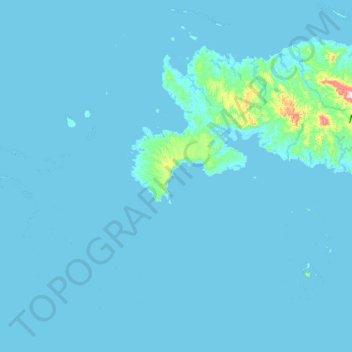
Name: Jambol topographic map, elevation, terrain.
Location: Jambol, Manus, Islands Region, Papua New Guinea (-2.52684 146.26799 -1.88684 146.90799)
Average elevation: 15 m
Minimum elevation: -1 m
Maximum elevation: 547 m