
关角 topographic map
Interactive map
Click on the map to display elevation.
About this map
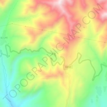
Name: 关角 topographic map, elevation, terrain.
Location: 关角, 化隆回族自治县, 海东市, 青海省, 中国 (36.09851 102.40038 36.13851 102.44038)
Average elevation: 3,036 m
Minimum elevation: 2,722 m
Maximum elevation: 3,392 m
Other topographic maps
Click on a map to view its topography, its elevation and its terrain.