
Orlen topographic map
Interactive map
Click on the map to display elevation.
About this map
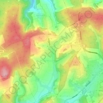
Name: Orlen topographic map, elevation, terrain.
Location: Orlen, Taunusstein, Rheingau-Taunus-Kreis, Hessen, Deutschland (50.16559 8.16974 50.19329 8.22822)
Average elevation: 423 m
Minimum elevation: 348 m
Maximum elevation: 495 m