
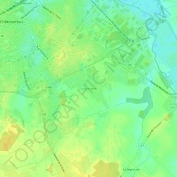
La Brauderie topographic map
Interactive map
Click on the map to display elevation.
About this map
Name: La Brauderie topographic map, elevation, terrain.
Average elevation: 157 m
Minimum elevation: 145 m
Maximum elevation: 168 m
Other topographic maps
Click on a map to view its topography, its elevation and its terrain.
Le Grand Épot
France > Centre-Val de Loire > Indre > Le Poinçonnet
Le Grand Épot, Le Poinçonnet, Châteauroux, Indre, Centre-Val de Loire, France métropolitaine, 36330, France
Average elevation: 164 m