
Thank you for supporting this site ❤️
Make a donation
Make a donation
Portage topographic map
Click on the map to display elevation.
Thank you for supporting this site ❤️
Make a donation
Make a donation
About this map
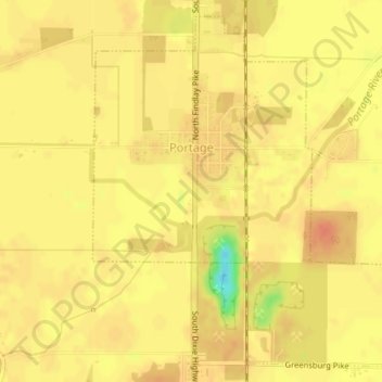
Name: Portage topographic map, elevation, terrain.
Location: Portage, Wood County, Ohio, United States (41.31118 -83.66007 41.33597 -83.63053)
Average elevation: 208 m
Minimum elevation: 176 m
Maximum elevation: 218 m
Thank you for supporting this site ❤️
Make a donation
Make a donation