
Palapye topographic map
Interactive map
Click on the map to display elevation.
About this map
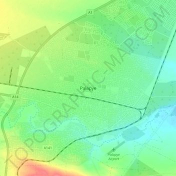
Name: Palapye topographic map, elevation, terrain.
Location: Palapye, Central District, Botswana (-22.57689 27.08351 -22.49689 27.16351)
Average elevation: 927 m
Minimum elevation: 906 m
Maximum elevation: 967 m
Other topographic maps
Click on a map to view its topography, its elevation and its terrain.