
Ginsheim topographic map
Interactive map
Click on the map to display elevation.
About this map
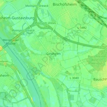
Name: Ginsheim topographic map, elevation, terrain.
Average elevation: 87 m
Minimum elevation: 79 m
Maximum elevation: 96 m
Other topographic maps
Click on a map to view its topography, its elevation and its terrain.
Gustavsburg
Deutschland > Hessen > Kreis Groß-Gerau > Ginsheim-Gustavsburg
Gustavsburg, Ginsheim-Gustavsburg, Kreis Groß-Gerau, Hessen, 65462, Deutschland
Average elevation: 94 m