
Alkofen topographic map
Interactive map
Click on the map to display elevation.
About this map
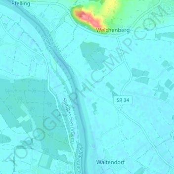
Name: Alkofen topographic map, elevation, terrain.
Average elevation: 318 m
Minimum elevation: 312 m
Maximum elevation: 388 m
Other topographic maps
Click on a map to view its topography, its elevation and its terrain.
Lauterbach
Deutschland > Bayern > Landkreis Straubing-Bogen > Niederwinkling
Lauterbach, Niederwinkling, Schwarzach (VGem), Landkreis Straubing-Bogen, Bayern, 94559, Deutschland
Average elevation: 342 m