
Boll topographic map
Interactive map
Click on the map to display elevation.
About this map
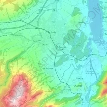
Name: Boll topographic map, elevation, terrain.
Location: Boll, Greyerzbezirk, Freiburg, Schweiz (46.56952 6.99339 46.64054 7.09527)
Average elevation: 834 m
Minimum elevation: 665 m
Maximum elevation: 1,383 m