
Thank you for supporting this site ❤️
Make a donation
Make a donation
Strüth topographic map
Click on the map to display elevation.
Thank you for supporting this site ❤️
Make a donation
Make a donation
About this map
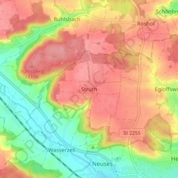
Name: Strüth topographic map, elevation, terrain.
Location: Strüth, Ansbach, Bayern, 91522, Deutschland (49.31159 10.52864 49.35159 10.56864)
Average elevation: 451 m
Minimum elevation: 401 m
Maximum elevation: 489 m
Thank you for supporting this site ❤️
Make a donation
Make a donation