
Thank you for supporting this site ❤️
Make a donation
Make a donation
San Ysidro topographic map
Click on the map to display elevation.
Thank you for supporting this site ❤️
Make a donation
Make a donation
About this map
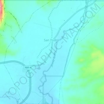
Name: San Ysidro topographic map, elevation, terrain.
Location: San Ysidro, Sandoval County, New Mexico, United States (35.54475 -106.78797 35.57525 -106.75870)
Average elevation: 1,680 m
Minimum elevation: 1,660 m
Maximum elevation: 1,803 m
Thank you for supporting this site ❤️
Make a donation
Make a donation