
雨坛镇 topographic map
Interactive map
Click on the map to display elevation.
About this map
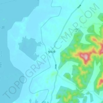
Name: 雨坛镇 topographic map, elevation, terrain.
Location: 雨坛镇, 枞阳县, 铜陵市, 安徽省, 中国 (30.77139 117.10813 30.85139 117.18813)
Average elevation: 39 m
Minimum elevation: 3 m
Maximum elevation: 349 m