
Thank you for supporting this site ❤️
Make a donation
Make a donation
Faizabad topographic map
Click on the map to display elevation.
Thank you for supporting this site ❤️
Make a donation
Make a donation
About this map
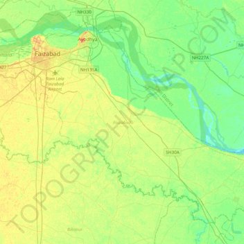
Name: Faizabad topographic map, elevation, terrain.
Location: Faizabad, Uttar Pradesh, India (26.54213 82.09740 26.82351 82.47818)
Average elevation: 95 m
Minimum elevation: 84 m
Maximum elevation: 108 m
Thank you for supporting this site ❤️
Make a donation
Make a donation