
Thank you for supporting this site ❤️
Make a donation
Make a donation
Pantón topographic map
Click on the map to display elevation.
Thank you for supporting this site ❤️
Make a donation
Make a donation
About this map
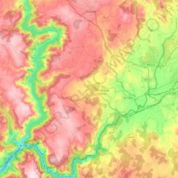
Name: Pantón topographic map, elevation, terrain.
Location: Pantón, Terra de Lemos, Lugo, Galicien, Spanien (42.42170 -7.73110 42.59594 -7.55359)
Average elevation: 444 m
Minimum elevation: 108 m
Maximum elevation: 728 m
Thank you for supporting this site ❤️
Make a donation
Make a donation