
Whisler topographic map
Interactive map
Click on the map to display elevation.
About this map
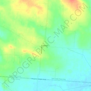
Name: Whisler topographic map, elevation, terrain.
Location: Whisler, Pickaway County, Ohio, États-Unis d'Amérique (39.46673 -82.83990 39.50673 -82.79990)
Average elevation: 249 m
Minimum elevation: 230 m
Maximum elevation: 278 m