
Rio Ponte topographic map
Interactive map
Click on the map to display elevation.
About this map
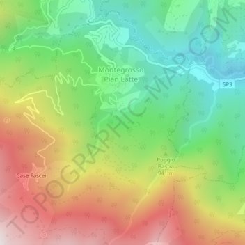
Name: Rio Ponte topographic map, elevation, terrain.
Location: Rio Ponte, Montegrosso Pian Latte, IM, Ligúria, 18024, Itália (44.05399 7.80902 44.06907 7.82768)
Average elevation: 894 m
Minimum elevation: 449 m
Maximum elevation: 1,499 m