
Aue-Bad Schlema topographic map
Interactive map
Click on the map to display elevation.
About this map
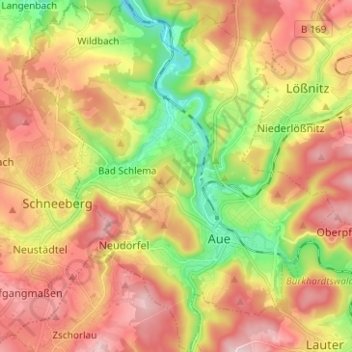
Name: Aue-Bad Schlema topographic map, elevation, terrain.
Location: Aue-Bad Schlema, Erzgebirgskreis, Sachsen, Deutschland (50.56150 12.62920 50.64092 12.73984)
Average elevation: 465 m
Minimum elevation: 313 m
Maximum elevation: 607 m