
Талас topographic map
Interactive map
Click on the map to display elevation.
About this map
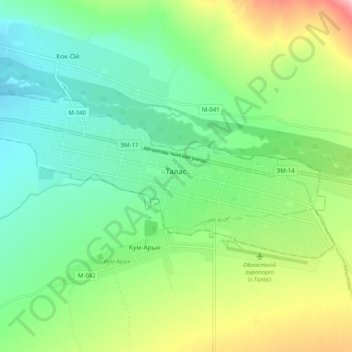
Name: Талас topographic map, elevation, terrain.
Location: Талас, Gebiet Talas, Kirgisistan (42.50512 72.18182 42.53952 72.28179)
Average elevation: 1,251 m
Minimum elevation: 1,192 m
Maximum elevation: 1,376 m