
Thank you for supporting this site ❤️
Make a donation
Make a donation
War Su topographic map
Click on the map to display elevation.
Thank you for supporting this site ❤️
Make a donation
Make a donation
About this map
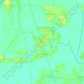
Name: War Su topographic map, elevation, terrain.
Location: War Su, Hpa-An Township, Hpa-An District, Kayin State, Myanmar (16.75885 97.61974 16.79885 97.65974)
Average elevation: 8 m
Minimum elevation: 1 m
Maximum elevation: 18 m
Thank you for supporting this site ❤️
Make a donation
Make a donation