
El Guedid topographic map
Interactive map
Click on the map to display elevation.
About this map
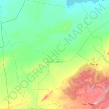
Name: El Guedid topographic map, elevation, terrain.
Location: El Guedid, Daïra Charef, Djelfa, Algérie (34.44880 2.35889 34.88242 2.79229)
Average elevation: 1,012 m
Minimum elevation: 830 m
Maximum elevation: 1,602 m