
Parc Aquatique des Portes du Perche topographic map
Interactive map
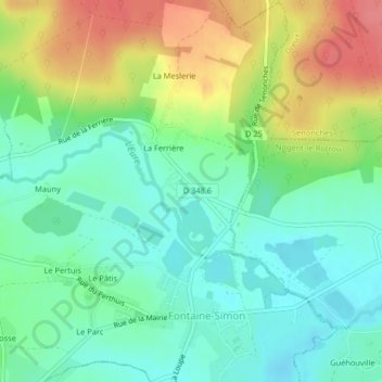
Click on the map to display elevation.
About this map
Name: Parc Aquatique des Portes du Perche topographic map, elevation, terrain.
Average elevation: 213 m
Minimum elevation: 186 m
Maximum elevation: 259 m
Other topographic maps
Click on a map to view its topography, its elevation and its terrain.
La Ferrière
France > Centre-Val de Loire > Eure-et-Loir > Fontaine-Simon > La Ferrière
La Ferrière, Fontaine-Simon, Nogent-le-Rotrou, Eure-et-Loir, Centre-Val de Loire, France métropolitaine, 28240, France
Average elevation: 221 m