
Thank you for supporting this site ❤️
Make a donation
Make a donation
Leawood topographic map
Click on the map to display elevation.
Thank you for supporting this site ❤️
Make a donation
Make a donation
About this map
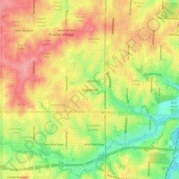
Name: Leawood topographic map, elevation, terrain.
Location: Leawood, Johnson County, Kansas, 64114, United States (38.92667 -94.65690 39.00667 -94.57690)
Average elevation: 286 m
Minimum elevation: 234 m
Maximum elevation: 332 m
Thank you for supporting this site ❤️
Make a donation
Make a donation
Other topographic maps
Click on a map to view its topography, its elevation and its terrain.
Overland Park Arboretum and Botanical Gardens
United States > Kansas > Johnson County > Overland Park
Average elevation: 305 m
Thank you for supporting this site ❤️
Make a donation
Make a donation