
八里 topographic map
Interactive map
Click on the map to display elevation.
About this map
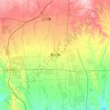
Name: 八里 topographic map, elevation, terrain.
Location: 八里, 兰州新区, 永登县, 兰州市, 甘肃省, 中国 (36.59096 103.51965 36.72524 103.76521)
Average elevation: 2,101 m
Minimum elevation: 1,953 m
Maximum elevation: 2,301 m
Other topographic maps
Click on a map to view its topography, its elevation and its terrain.