
Thank you for supporting this site ❤️
Make a donation
Make a donation
Utica topographic map
Click on the map to display elevation.
Thank you for supporting this site ❤️
Make a donation
Make a donation
About this map
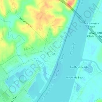
Name: Utica topographic map, elevation, terrain.
Location: Utica, Clark County, Indiana, United States (38.32752 -85.67050 38.34105 -85.64719)
Average elevation: 142 m
Minimum elevation: 129 m
Maximum elevation: 177 m
Thank you for supporting this site ❤️
Make a donation
Make a donation