
Thank you for supporting this site ❤️
Make a donation
Make a donation
Fraire topographic map
Click on the map to display elevation.
Thank you for supporting this site ❤️
Make a donation
Make a donation
About this map
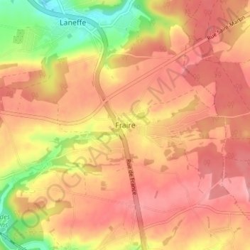
Name: Fraire topographic map, elevation, terrain.
Location: Fraire, Walcourt, Philippeville, Namen, Wallonië, 5650, België (50.24138 4.48816 50.28138 4.52816)
Average elevation: 248 m
Minimum elevation: 176 m
Maximum elevation: 285 m
Thank you for supporting this site ❤️
Make a donation
Make a donation
Other topographic maps
Click on a map to view its topography, its elevation and its terrain.