
Payne topographic map
Interactive map
Click on the map to display elevation.
About this map
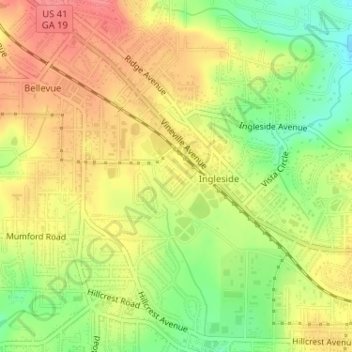
Name: Payne topographic map, elevation, terrain.
Location: Payne, Bibb County, Georgia, United States (32.84959 -83.68202 32.85388 -83.67694)
Average elevation: 147 m
Minimum elevation: 106 m
Maximum elevation: 179 m