
Laurel topographic map
Interactive map
Click on the map to display elevation.
About this map
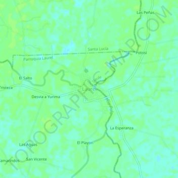
Name: Laurel topographic map, elevation, terrain.
Location: Laurel, Parroquia Laurel, Daule, Guayas, Ecuador (-1.80380 -79.92965 -1.76380 -79.88965)
Average elevation: 6 m
Minimum elevation: 0 m
Maximum elevation: 10 m
Other topographic maps
Click on a map to view its topography, its elevation and its terrain.
La Estragada
La Estragada, Los Lojas, Daule, Guayas, 091905, Ecuador
Average elevation: 27 m