
Thank you for supporting this site ❤️
Make a donation
Make a donation
Schönlind topographic map
Click on the map to display elevation.
Thank you for supporting this site ❤️
Make a donation
Make a donation
About this map
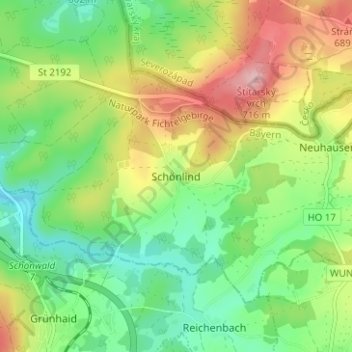
Name: Schönlind topographic map, elevation, terrain.
Location: Schönlind, Rehau, Landkreis Hof, Bayern, 95173, Deutschland (50.20601 12.09680 50.24601 12.13680)
Average elevation: 617 m
Minimum elevation: 551 m
Maximum elevation: 719 m
Thank you for supporting this site ❤️
Make a donation
Make a donation