
Thank you for supporting this site ❤️
Make a donation
Make a donation
Malhada Velha topographic map
Click on the map to display elevation.
Thank you for supporting this site ❤️
Make a donation
Make a donation
About this map
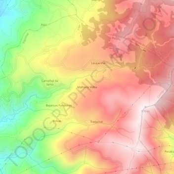
Name: Malhada Velha topographic map, elevation, terrain.
Location: Malhada Velha, Espinhal, Penela, Coimbra, Portugal (40.00134 -8.33350 40.04134 -8.29350)
Average elevation: 609 m
Minimum elevation: 224 m
Maximum elevation: 868 m
Thank you for supporting this site ❤️
Make a donation
Make a donation
Other topographic maps
Click on a map to view its topography, its elevation and its terrain.