
Mombeja topographic map
Interactive map
Click on the map to display elevation.
About this map
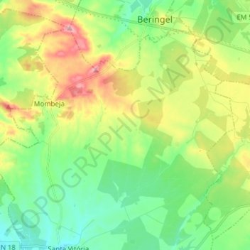
Name: Mombeja topographic map, elevation, terrain.
Location: Mombeja, Beja, 7800-641, Portugal (37.97723 -8.06786 38.05300 -7.94388)
Average elevation: 188 m
Minimum elevation: 138 m
Maximum elevation: 277 m
Other topographic maps
Click on a map to view its topography, its elevation and its terrain.