
Kalleshave topographic map
Interactive map
Click on the map to display elevation.
About this map
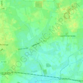
Name: Kalleshave topographic map, elevation, terrain.
Average elevation: 9 m
Minimum elevation: 2 m
Maximum elevation: 16 m
Other topographic maps
Click on a map to view its topography, its elevation and its terrain.
Tettwang
Deutschland > Schleswig-Holstein > Nordfriesland > Achtrup
Tettwang, Achtrup, Südtondern, Nordfriesland, Schleswig-Holstein, 25926, Deutschland
Average elevation: 10 m