
Thank you for supporting this site ❤️
Make a donation
Make a donation
Langot topographic map
Click on the map to display elevation.
Thank you for supporting this site ❤️
Make a donation
Make a donation
About this map
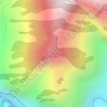
Name: Langot topographic map, elevation, terrain.
Location: Langot, Kishtwar, Kishtwar District, Jammu and Kashmir, India (33.35842 75.94155 33.35852 75.94165)
Average elevation: 2,346 m
Minimum elevation: 1,355 m
Maximum elevation: 3,320 m
Thank you for supporting this site ❤️
Make a donation
Make a donation