
Saidenberg topographic map
Interactive map
Click on the map to display elevation.
About this map
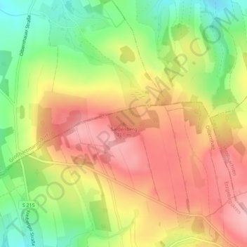
Name: Saidenberg topographic map, elevation, terrain.
Location: Saidenberg, Olbernhau, Erzgebirgskreis, Sachsen, Deutschland (50.75065 13.35085 50.75075 13.35095)
Average elevation: 636 m
Minimum elevation: 555 m
Maximum elevation: 704 m
Other topographic maps
Click on a map to view its topography, its elevation and its terrain.
Pfaffroda
Deutschland > Sachsen > Erzgebirgskreis > Olbernhau
Pfaffroda, Olbernhau, Erzgebirgskreis, Sachsen, 09526, Deutschland
Average elevation: 583 m