
Thank you for supporting this site ❤️
Make a donation
Make a donation
Gaustatoppen topographic map
Click on the map to display elevation.
Thank you for supporting this site ❤️
Make a donation
Make a donation
About this map
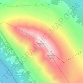
Name: Gaustatoppen topographic map, elevation, terrain.
Location: Gaustatoppen, Tinn, Vestfold og Telemark, 3660, Norway (59.85419 8.64905 59.85429 8.64915)
Average elevation: 1,360 m
Minimum elevation: 901 m
Maximum elevation: 1,868 m
Thank you for supporting this site ❤️
Make a donation
Make a donation