
珊瑚坝 topographic map
Interactive map
Click on the map to display elevation.
About this map
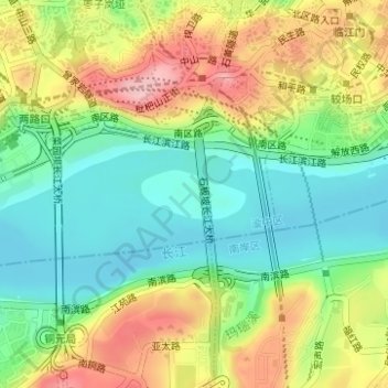
Name: 珊瑚坝 topographic map, elevation, terrain.
Location: 珊瑚坝, 菜园坝街道, 渝中区, 重庆市主城都市区, 重庆市, 中国 (29.54720 106.55429 29.55065 106.56272)
Average elevation: 225 m
Minimum elevation: 152 m
Maximum elevation: 333 m
Other topographic maps
Click on a map to view its topography, its elevation and its terrain.