
日峰镇 topographic map
Interactive map
Click on the map to display elevation.
About this map
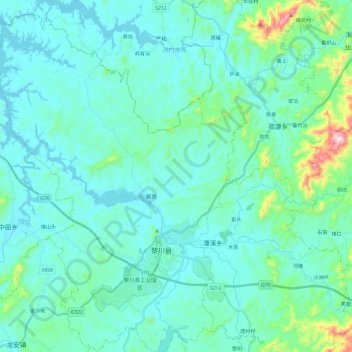
Name: 日峰镇 topographic map, elevation, terrain.
Location: 日峰镇, 黎川县, 抚州市, 江西省, 中国 (27.22258 116.78398 27.43596 116.96173)
Average elevation: 153 m
Minimum elevation: 90 m
Maximum elevation: 549 m
Other topographic maps
Click on a map to view its topography, its elevation and its terrain.