
梅庄村 topographic map
Interactive map
Click on the map to display elevation.
About this map
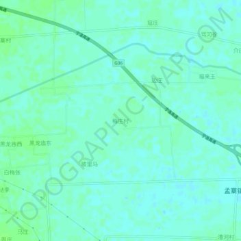
Name: 梅庄村 topographic map, elevation, terrain.
Location: 梅庄村, 舞阳县, 漯河市, 河南省, 中国 (33.51619 113.56874 33.55619 113.60874)
Average elevation: 76 m
Minimum elevation: 72 m
Maximum elevation: 81 m
Other topographic maps
Click on a map to view its topography, its elevation and its terrain.