
Thank you for supporting this site ❤️
Make a donation
Make a donation
Setouchi topographic map
Click on the map to display elevation.
Thank you for supporting this site ❤️
Make a donation
Make a donation
About this map
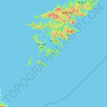
Name: Setouchi topographic map, elevation, terrain.
Location: Setouchi, Oshima County, Kagoshima Prefecture, Japan (27.79745 128.90423 28.37507 129.59460)
Average elevation: 26 m
Minimum elevation: 0 m
Maximum elevation: 673 m
Thank you for supporting this site ❤️
Make a donation
Make a donation