
Thank you for supporting this site ❤️
Make a donation
Make a donation
Villa Hills topographic map
Click on the map to display elevation.
Thank you for supporting this site ❤️
Make a donation
Make a donation
About this map
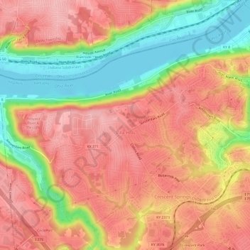
Name: Villa Hills topographic map, elevation, terrain.
Location: Villa Hills, Kenton County, Kentucky, United States (39.04590 -84.62370 39.08363 -84.56358)
Average elevation: 224 m
Minimum elevation: 140 m
Maximum elevation: 278 m
Thank you for supporting this site ❤️
Make a donation
Make a donation