
La Saulaie topographic map
Interactive map
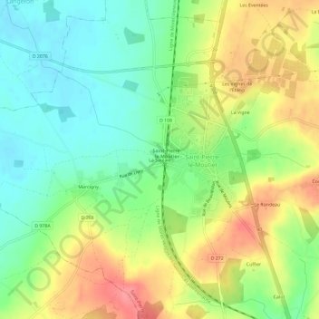
Click on the map to display elevation.
About this map
Name: La Saulaie topographic map, elevation, terrain.
Average elevation: 220 m
Minimum elevation: 186 m
Maximum elevation: 264 m
Other topographic maps
Click on a map to view its topography, its elevation and its terrain.
La Vigne
France > Bourgogne-Franche-Comté > Nièvre > Saint-Pierre-le-Moûtier
La Vigne, Saint-Pierre-le-Moûtier, Nevers, Nièvre, Bourgogne-Franche-Comté, France métropolitaine, 58240, France
Average elevation: 225 m