
Thank you for supporting this site ❤️
Make a donation
Make a donation
Prior Lake topographic map
Click on the map to display elevation.
Thank you for supporting this site ❤️
Make a donation
Make a donation
Prior Lake
The eastern portion of Spring Lake along Scott County Road 12 is also located within the City of Prior Lake. Spring Lake, with 290 acres, but being a few minutes further out from the metro area offers similar recreational opportunities as Upper Prior Lake with a more rural character and less traffic. Spring Lake, being several feet higher in elevation, flows north, into Upper Prior Lake via a non-navigable spillway and culvert under County Road 12.
Thank you for supporting this site ❤️
Make a donation
Make a donation
About this map
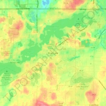
Name: Prior Lake topographic map, elevation, terrain.
Location: Prior Lake, Scott County, Minnesota, 55372, United States (44.67333 -93.46269 44.75333 -93.38269)
Average elevation: 289 m
Minimum elevation: 247 m
Maximum elevation: 331 m
Thank you for supporting this site ❤️
Make a donation
Make a donation