
Thank you for supporting this site ❤️
Make a donation
Make a donation
Amelia topographic map
Click on the map to display elevation.
Thank you for supporting this site ❤️
Make a donation
Make a donation
About this map
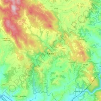
Name: Amelia topographic map, elevation, terrain.
Location: Amelia, Terni, Umbria, 05022, Italy (42.48592 12.30668 42.63005 12.47903)
Average elevation: 324 m
Minimum elevation: 50 m
Maximum elevation: 828 m
Thank you for supporting this site ❤️
Make a donation
Make a donation
Other topographic maps
Click on a map to view its topography, its elevation and its terrain.