
Thank you for supporting this site ❤️
Make a donation
Make a donation
Wanzele topographic map
Click on the map to display elevation.
Thank you for supporting this site ❤️
Make a donation
Make a donation
Wanzele
Wanzele ligt in Zandlemig Vlaanderen op een hoogte van 12-20 meter.
Thank you for supporting this site ❤️
Make a donation
Make a donation
About this map
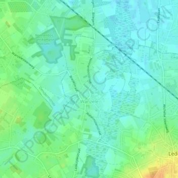
Name: Wanzele topographic map, elevation, terrain.
Location: Wanzele, Lede, Aalst, Oost-Vlaanderen, België (50.96801 3.95017 50.98410 3.96776)
Average elevation: 16 m
Minimum elevation: 6 m
Maximum elevation: 38 m
Thank you for supporting this site ❤️
Make a donation
Make a donation