
Hageman topographic map
Interactive map
Click on the map to display elevation.
About this map
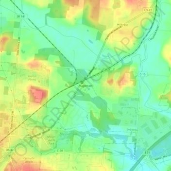
Name: Hageman topographic map, elevation, terrain.
Location: Hageman, Warren County, Ohio, 45034, United States (39.36908 -84.28560 39.40908 -84.24560)
Average elevation: 211 m
Minimum elevation: 187 m
Maximum elevation: 242 m