
Vilar topographic map
Interactive map
Click on the map to display elevation.
About this map
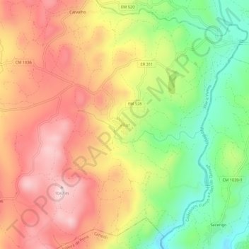
Name: Vilar topographic map, elevation, terrain.
Location: Vilar, Boticas, Vila Real, Portugal (41.64728 -7.75681 41.68728 -7.71681)
Average elevation: 864 m
Minimum elevation: 671 m
Maximum elevation: 1,035 m