
Lhoneux topographic map
Interactive map
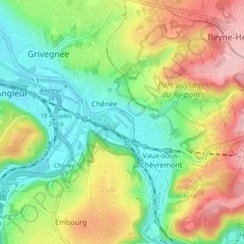
Click on the map to display elevation.
About this map
Name: Lhoneux topographic map, elevation, terrain.
Location: Lhoneux, Chênée, Liège, Wallonie, 4000, Belgique (50.58802 5.60383 50.62802 5.64383)
Average elevation: 133 m
Minimum elevation: 61 m
Maximum elevation: 240 m